Project scanning and capture

Preformance uses laser scanning, drone UAV, and robotics to capture detailed geometric information of existing conditions. This scanning process can be applied to existing facilities or partially built projects to rapidly and accurately produce a digital ‘as built’ model of a building or site.
Laser scanning
This is the process of capturing existing conditions using the point cloud scanner to create point clouds.
This information is then exported to the BIM team to create a digital model.
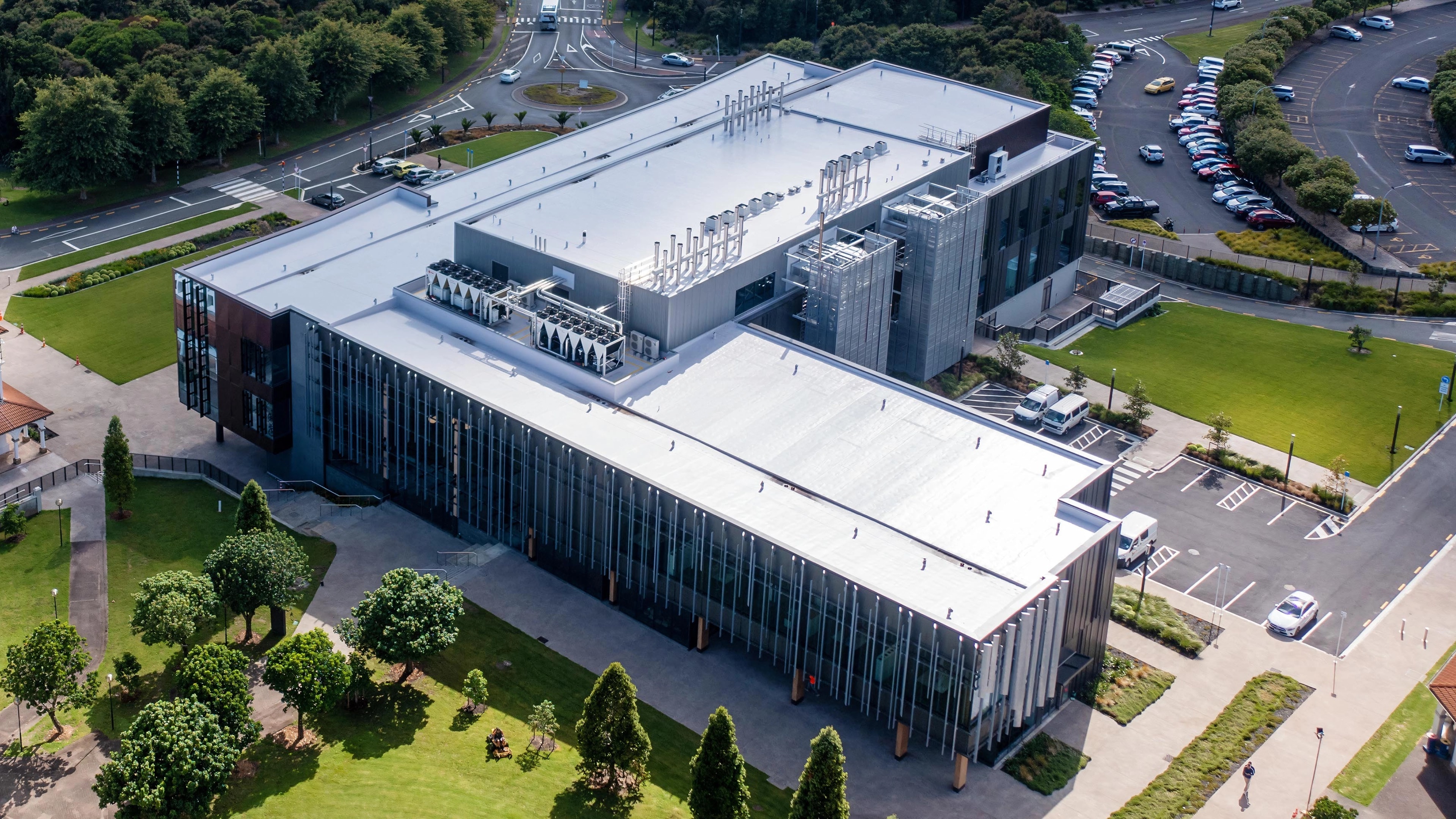
Remote site management
Preformance utilises a drone and robot to capture, survey and inspect work sites and physical assets.
This capture helps both the construction process and operation management to have better project information for remote communication.
This was especially useful during the pandemic period.
360 ̊ photo
To build a virtual visual record of a place, Preformance uses 360-degree high-resolution photography.
This helps the project transition from paper-based to image-based project management.
It provides the benefits of a virtual walk through and full-coverage documentation almost instantly without requiring extra hours to process and locate photos.